
The Saguenay Fjord: a guide to Quebec's fjord country
In short: the Saguenay Fjord is a deep, cliff-lined valley about 105 km long that joins the St. Lawrence River at Tadoussac. Its shores are home to small villages such as Petit-Saguenay and L'Anse-Saint-Jean, and to the city of Saguenay, including La Baie. It is one of the southernmost fjords in the world, and a place where land is still relatively affordable.
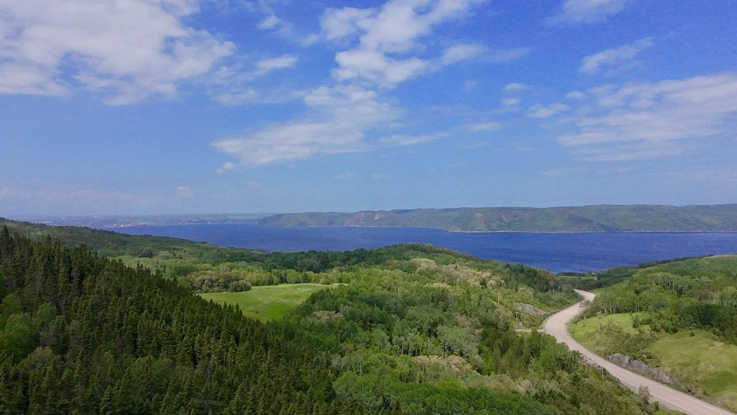
A true fjord, in southern Quebec
A fjord is a valley carved by glaciers and later flooded by the sea. The Saguenay qualifies on every count. It runs about 105 km from the Saguenay area to Tadoussac, is 2 to 4 km wide, averages about 210 m deep and reaches some 270 m at its deepest point. Its cliffs rise up to 350 m above the water. Salt water from the St. Lawrence slides under the fresh water flowing down from the river, which makes the fjord a rich habitat for marine life.
The landscape is protected by the Saguenay Fjord National Park (Parc national du Fjord-du-Saguenay), created in 1983, and by the Saguenay–St. Lawrence Marine Park at its mouth. Belugas, minke whales and fin whales are seen near Tadoussac; the St. Lawrence beluga is an endangered species, which is why boat traffic is regulated.
The villages along the fjord
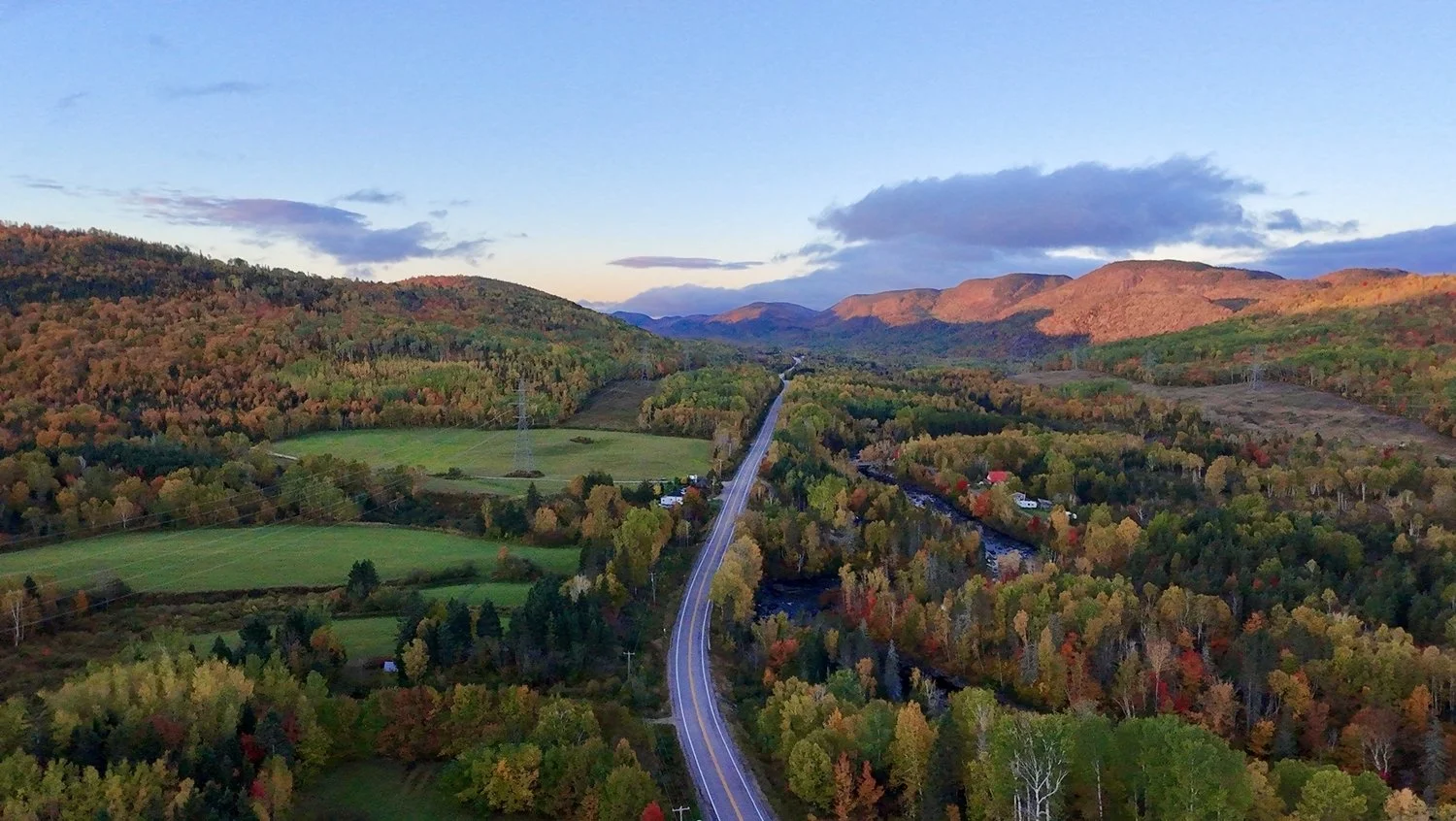
On the south shore, Route 170 links the fjord villages to Charlevoix. Petit-Saguenay sits where the Petit-Saguenay River meets the fjord, with a sheltered bay, salmon fishing and forest trails. Its neighbour, L'Anse-Saint-Jean, is known for its covered bridge, its ski hill and its hiking and kayaking. Further west, La Baie, part of the city of Saguenay, lies on the Baie des Ha! Ha! and welcomes cruise ships in summer. It offers the services of a city: hospital, schools, shops and an airport nearby at Bagotville.
Sainte-Rose-du-Nord, on the north shore (Route 172), and the Baie-Éternité sector of the national park, near Rivière-Éternité on the south shore, are among the most photographed spots in the region.
Getting there
From Quebec City, two routes lead to the fjord. Route 175 crosses the Laurentides Wildlife Reserve to reach the city of Saguenay and La Baie in about two and a half hours. Route 138 through Charlevoix, then Route 170 from Saint-Siméon, leads to Petit-Saguenay in about two and a half to three hours. A free ferry crosses the mouth of the fjord between Baie-Sainte-Catherine and Tadoussac.
When to visit the Saguenay Fjord
The fjord is open year-round, but each season offers a different trip.
- Late May to mid-October: the best window for hiking, kayaking and fjord cruises. Most services in the national park run during this period.
- Whale season, May to October: whale-watching cruises leave from Tadoussac and Baie-Sainte-Catherine, with the widest variety of species in July and August. St. Lawrence belugas live in the fjord and estuary all year; the Baie-Sainte-Marguerite sector of the national park is one of the best places to watch them from shore.
- Late September: fall colours light up the cliffs and the forest, with fewer visitors.
- January to mid-March: ice-fishing villages of colourful cabins settle on the frozen Baie des Ha! Ha! at La Baie, one of the largest ice-fishing sites in the world. Opening dates depend on ice thickness.
Planning to buy land? Visit in late spring or fall, when the leaves are down and you can read the slope and the views, and come back once in winter to see how the road is kept open.
Things to do along the fjord
- Hike to the Notre-Dame-du-Saguenay statue: the Statue Trail, in the Baie-Éternité sector of the national park, climbs Cap Trinité to a statue that has watched over the fjord since 1881. Allow 3 to 4 hours for the 7.6 km round trip.
- Try the via ferrata: the Via ferrata des Géants offers guided routes on the cliffs of Baie Éternité, including a suspended footbridge high above the water. It is open from early June to mid-October.
- Paddle the fjord: guided sea-kayak outings leave from Tadoussac, L'Anse-Saint-Jean and other villages in summer. Belugas sometimes come close to kayaks; keep your distance and follow the guide.
- Take a fjord cruise: a 90-minute boat shuttle from Baie-Éternité passes the highest capes of the fjord and the statue.
- Fish for salmon and trout: the Petit-Saguenay River and the lakes of the surrounding forest draw anglers from spring to fall.
Buying land in the Saguenay region
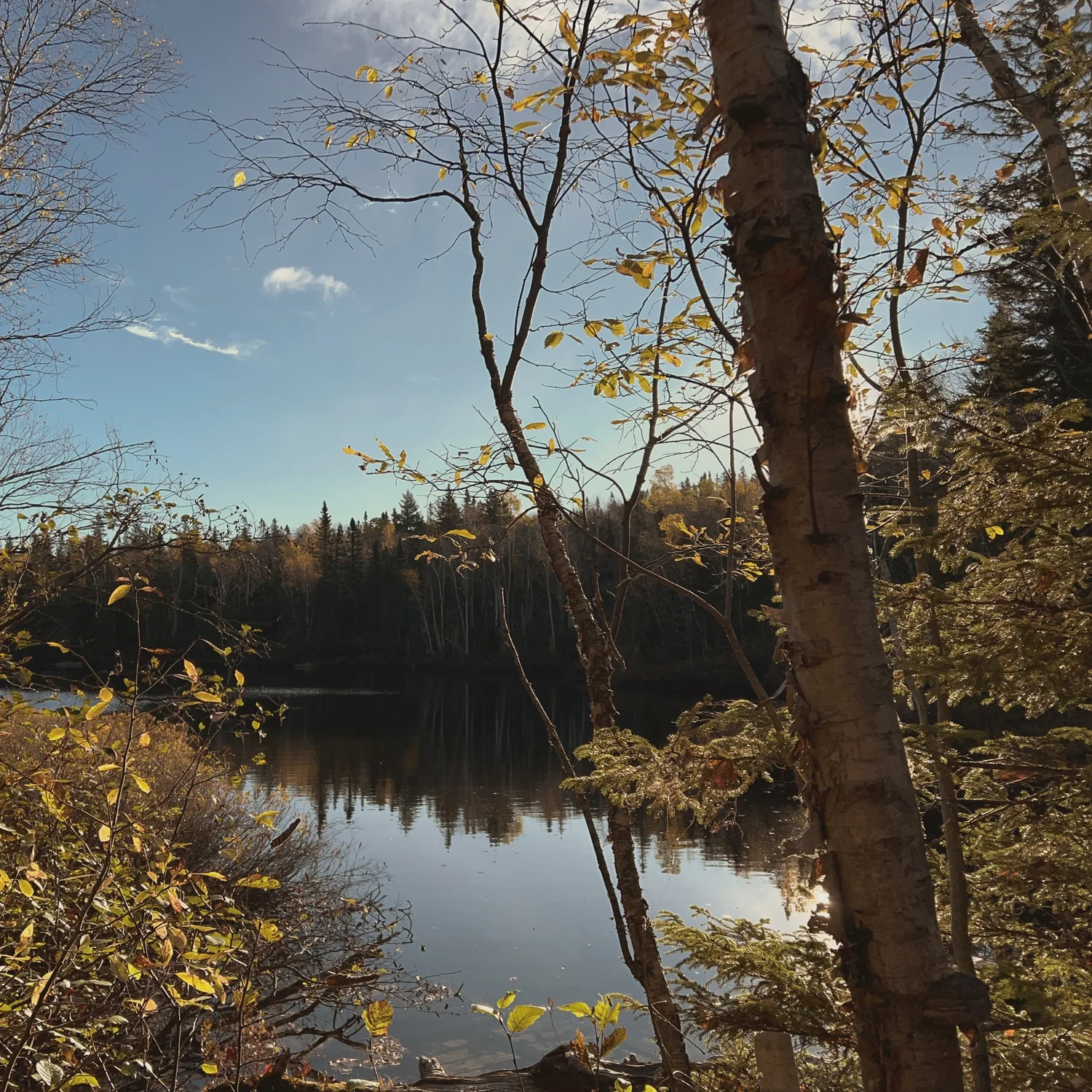
Compared with Charlevoix or the Laurentians, land along the Saguenay Fjord often offers more land, more forest and more privacy for the same budget. It suits a cottage, a hunting and fishing retreat, a private estate or a primary home for those who work remotely. Before buying, check:
- Zoning and buildability: some wooded lots are zoned for forestry or conservation, or are too steep to build on without a municipal variance.
- Access in all seasons: a lot may be reached by a public road, a private road or, for now, only by ATV. Ask who maintains the road in winter.
- Water and septic: plan for a well and a septic system, and check the soil before you design the house.
- Nearby public land: ZECs (controlled harvesting zones) and public forests often border private lots, a plus for hunting, fishing and trails.
- Non-resident buyers: vacant land is not covered by Canada's temporary ban on non-Canadian buyers, but agricultural land may require a CPTAQ authorization. Confirm with a Quebec notary.
Three lots in Petit-Saguenay and La Baie
- Le Domaine sur le lac, Petit-Saguenay: about 1.27 million sq ft (118,400 m²), shared lake, log cabin to restore. $365,000 CAD.
- Le Boisé du Fjord, La Baie: about 535,000 sq ft (49,700 m²), creek and Saguenay views (forestry zoning; a house requires 10 ha or more). $89,900 CAD.
- Le Grand Boisé, Petit-Saguenay: about 173,900 sq ft (16,153 m²) of mixed forest on Route 170, no deadline to build. $65,000 CAD.
Saguenay Fjord or Charlevoix?
Charlevoix, just south, offers views of the St. Lawrence River and a shorter drive from Quebec City. The fjord offers wilder landscapes and larger lots. Many buyers visit both in the same trip: Route 170 links Saint-Siméon, in Charlevoix, to Petit-Saguenay in under an hour. Read our guide to Charlevoix and the St. Lawrence River.
Frequently asked questions
How long is the Saguenay Fjord?
About 105 km, from the Saguenay area to Tadoussac, where it meets the St. Lawrence River.
Can you see whales in the Saguenay Fjord?
Yes, especially near Tadoussac and the mouth of the fjord, inside the Saguenay–St. Lawrence Marine Park. Belugas are an endangered species and must be observed from a distance.
Is land cheaper in the Saguenay region than in Charlevoix?
Often, yes: for a similar budget, lots along the fjord tend to be larger and more private. Prices depend on access, services, zoning and views.
How deep is the Saguenay Fjord?
About 270 m at its deepest point, with an average depth of around 210 m. Its cliffs rise up to 350 m above the water.
When is the best time to visit the Saguenay Fjord?
From late May to mid-October for hiking, kayaking and cruises, with whale watching from May to October. In winter, from January to mid-March, the ice-fishing villages of La Baie are worth the trip.
Looking for land along the Saguenay Fjord?
We sell most of our lots directly, and we reply in English.
See our land for sale Write to us